Current issue
Online first
Archive
About the Journal
Aims and scope
Editorial Board
International Editorial Board
List of Reviewers
Abstracting and indexing
Ethical standards and procedures
REMV in Social Media
Contact
Instructions for Authors
Instructions for Authors
Manuscript formatting template
Title page
Highlights
Payments
‘Ghostwriting’ and ‘Guestauthorship’
Guidelines for Referees

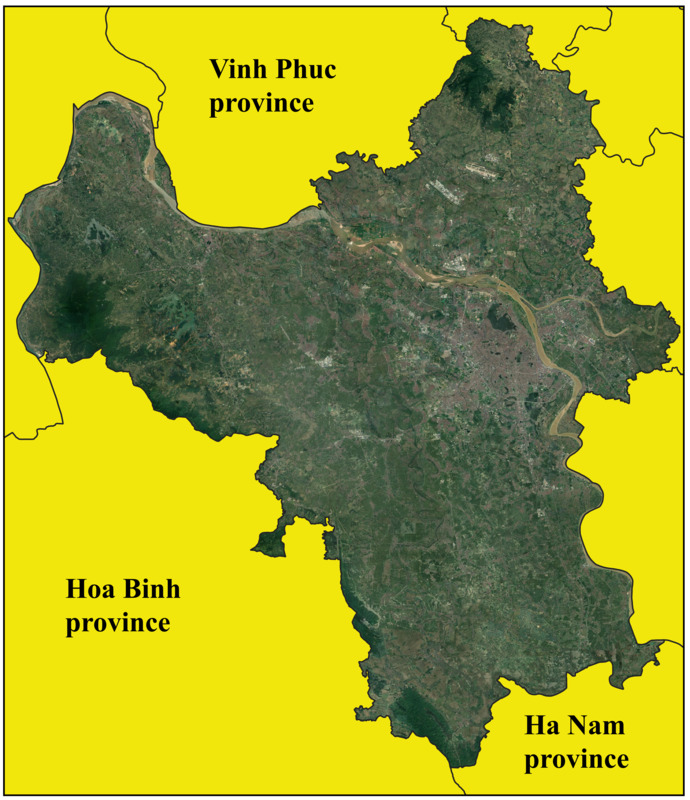
Land cover change in Hanoi: A comparison between planning cycles
1
National Economics University
Submission date: 2023-08-03
Final revision date: 2024-01-18
Acceptance date: 2024-01-29
Publication date: 2024-06-10
REMV; 2024;32(2):1-12
HIGHLIGHTS
- the area of land used for urban development is expanding at a quick rate in this metropolitan region
- the area used for rice production has experienced a significant decline
- the pattern of moving is not consistent from one planning period to the next
KEYWORDS
TOPICS
ABSTRACT
Because land is an entity that possesses both biophysical and geophysical features, it can be subdivided into several land covers and put to a variety of diverse uses. In this study, transformation matrices are generated using JAXA map data in order to conduct an analysis of the inter-land variability. In Hanoi, data collection took place over the course of four years (1990, 2000, 2010, and 2020). According to Vietnam’s legislation, this timeframe is also equivalent to three phases of land use planning (LUP). According to the findings, the area of land used for urban development is expanding at a quick rate in this metropolitan region (by more than 13%), but the area used for rice production has experienced a significant decline (by approx. 23%). However, the pattern is not consistent from one planning period to the next. The research results are also linked to land use practices in Hanoi in the discussion section. This points to the compatibility with the current state of Vietnam's linear economic growth in recent times, as well as negative issues, such as land waste and forecasts of spatial changes in Hanoi.
Share
RELATED ARTICLE
| eISSN: | 2300-5289 |
We process personal data collected when visiting the website. The function of obtaining information about users and their behavior is carried out by voluntarily entered information in forms and saving cookies in end devices. Data, including cookies, are used to provide services, improve the user experience and to analyze the traffic in accordance with the Privacy policy. Data are also collected and processed by Google Analytics tool (more).
You can change cookies settings in your browser. Restricted use of cookies in the browser configuration may affect some functionalities of the website.
You can change cookies settings in your browser. Restricted use of cookies in the browser configuration may affect some functionalities of the website.